Daily Archives

3 Articles

Uncategorized

Praxis – Mapping Geographies of Self

Posted by Jesse Rice-Evans (she/they) on

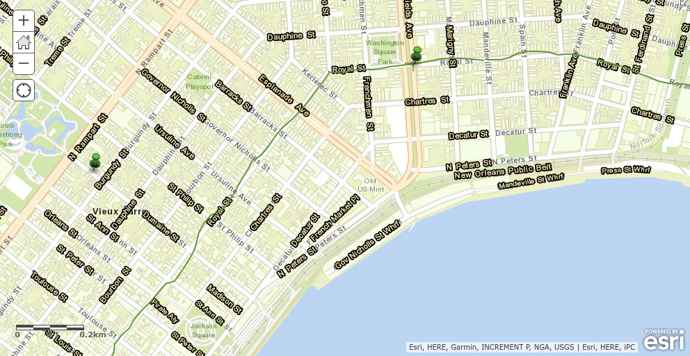
For this praxis assignment, I chose to work with Google Maps. I am already experienced with the platform, and the other suggested mapping softwares seemed intimidating on top of the abundance of other stuff I had to do over the past two weeks, so Maps was a perfect choice. I’ve actually been working on mapping locations where I work on my new writing project: a collection of autotheoretical short prose essays on chronic pain and embodiment. This project gave me the actual push I’ve needed to digitalization my lo-fi mapping (writing down lists of places I work in my phone).

As I develop notes towards my dissertation, I am embracing the role my own body plays in my writing and reading practices more and more. It seems silly to write about embodiment in any sort of abstracted way since the body is the thing doing the work of writing and theorizing. The weirdness appears in figuring out the relationships between and among the body and disembodied sites of writing and practice, like digital spaces. This mapping gave me a needed opportunity to start tracing a visual-spatial trail of how I move through 3D geographies while contributing to my ongoing move towards digitalizing my notes in readable forms.

Since I was stuck an extra day in Chicago, I decided to add locations where I had been on email, writing, reading, doing homework assignments, or otherwise “laboring” while in town. (This is also maybe revelatory of my reframing of “work” to shake off a long time on shift schedules, and to provide evidence that being an adjunct/“funded” graduate student means *never not working*.) Next, I’m adding layers of commuting and travel maps to make visible my movement around the city by car and train and walking—I haven’t yet figured out how to express that which choice I make depends largely upon my health at that moment, or anticipating my health later in the day.

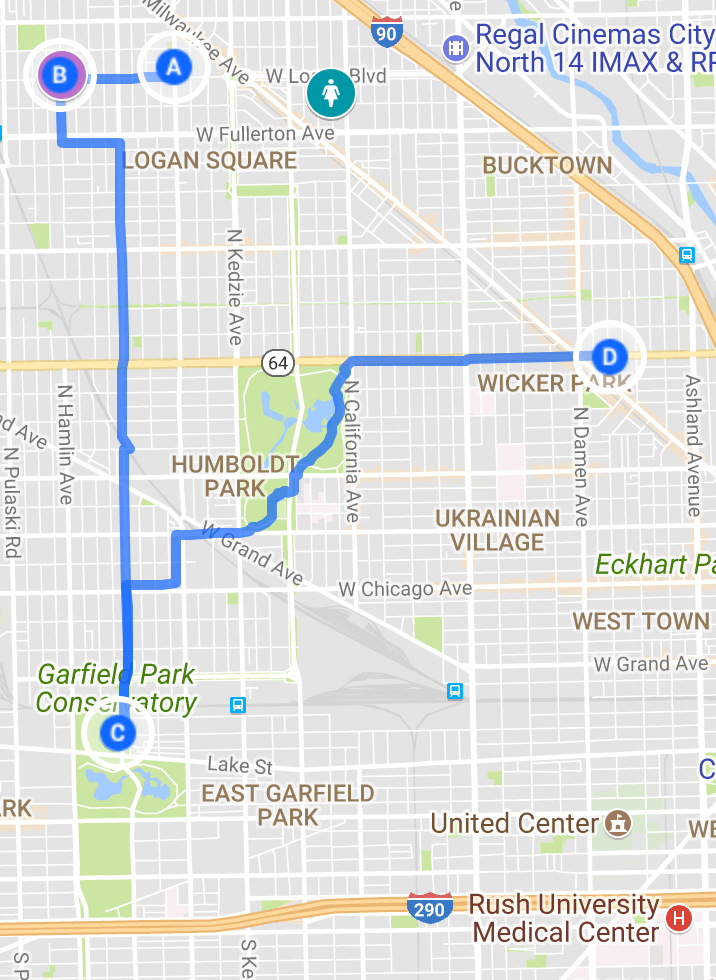
Maps doesn’t make it easy to input actual circuitous routes, as it automatically adjusts the routes to highlight the fastest way from point to point, which isn’t actually always the way we went. That aside, though, I like this feature, and I know of accessibility scholars who have taken up adding notes of locations of curb cuts and other accessibility markers.

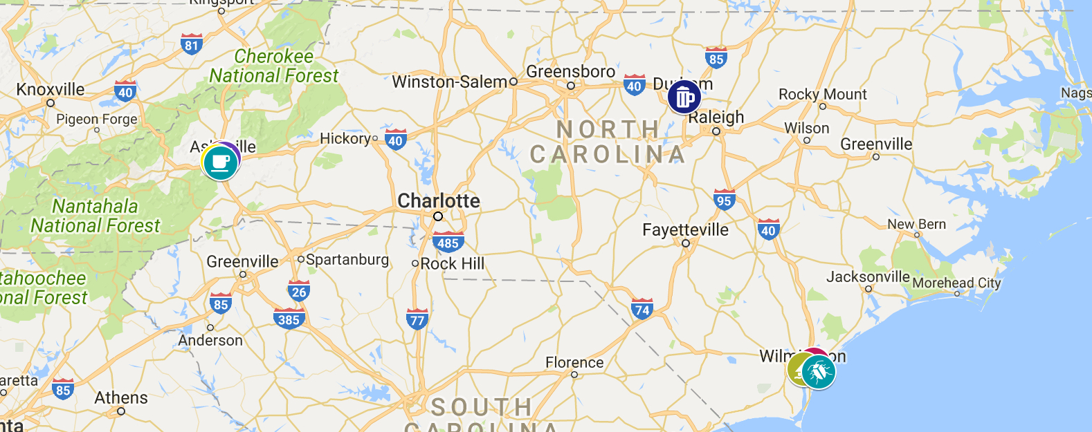
I also tried to implement this mapping strategy across my home state of North Carolina, which I visit about once a year, but the much larger scale made mapping less effective:

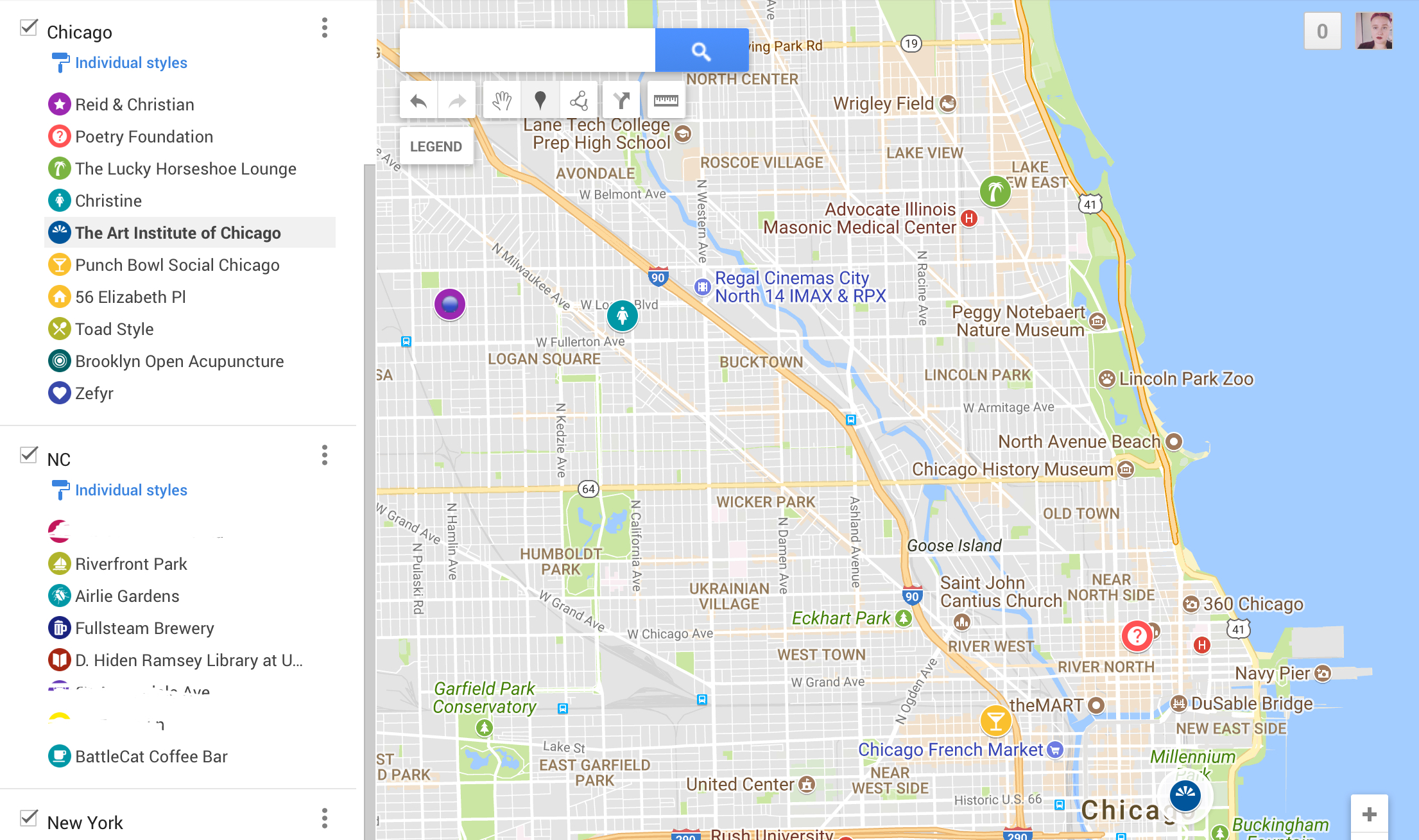
I’d like to figure out more intuitive ways to trace movement, but I do appreciate that I could demarcate each location with a customized icon and color. I don’t really understand why my own maps aren’t integrated with my use of the Google Maps app, but I’m also iffy about all my data being used everywhere!

Uncategorized

Mapping the route of “A streetcar named Desire”

Posted by clararamazzotti on

For this assignments I looked at the different tools offered to find what could be more “user-friendly”, and unfortunately I have Linux so I had some problem with Google Earth and the Tour Builder tool that I wanted to use. For this reason I chose ArcGIS.

I just spend some days in New Orleans so my idea was to try to understand the real route of a streetcar, and the most famous streetcar ever in that city is the William’s one.

Tennessee Williams lived in New Orleans for several years, and for this reason he decided to write about it, as he recognized in NOLA his “spiritual town”. The William’s house was (or better to say IS, you could visit if you want) in the French Quarter, at 1014 Dumaine Street.

The mapping: first of all, “Desire” is the name of a street where the streetcar did its route, so actually this should enter in the itinerary. The Desire Line ran from 1920 to 1948. It ran down Royal, through the Quarter, to Desire Street in the Bywater district, and back up to Canal.So the characters in the play took a streetcar named Desire, transfer to one called Cemeteries and ride six blocks and get off at Elysian Fields Avenue on its way to Canal Street (I checked with the RTA website: http://www.norta.com/Maps-Schedules/System-Map/Line.aspx?ID=10836).


I put images on the map but PROBLEM: I’m not able to see them (in my mind their visualization was the same as on Google Maps when they pop-up at the mouse’s passage) and I didn’t understand how to use them properly in this map and PROBLEM II: I’d like to create a more complex and detailed map, but at the end I created something too simple. 

Link to the The map

I could do the same with more effort using literary guide books (as I have about my city, Milan, in Italy) but it really needs time and great attention to details, and maybe a real visit on the streets.

During this assignments I was thinking to The Lord of the Rings: we could create an imaginary itinerary about all the books that talks about travels and discovery, also if they are not in a real world? I found this: http://lotrproject.com/map/#zoom=3&lat=-1315.5&lon=1500&layers=BTTTTT.


Uncategorized

Praxis Assignment – Mapping the East India Company’s First Voyage

Posted by Param Ajmera on

Using the StoryMapJS tool developed by the Knight Lab at Northwestern University, I created a map [https://uploads.knightlab.com/storymapjs/7ed69da1bf32f9f828bf6a8fc34ddb7e/the-east-india-companys-first-voyage/index.html] charting the East India Company’s (EIC) first trading voyage. The StoryMapsJS interface is very intuitive and can be picked up with ease. The challenge, however, lies in being able to make sense of the EIC’s papers, given the style that it is written in and largely forgotten place names that it uses. For this map, I used a company record titled “A true and large discourse of the voyage of the whole fleete of ships set forth the 20. of Aprill 1601. by the Gouernours and assistants of the East Indian marchants in London, to the East Indies Wherein is set downe the order and manner of their trafficke, the discription of the countries, the nature of the people and their language, with the names of all the men dead in the voyage,” which I sourced from the EEBO database. As is suggested by the title, this record is written in more or less chronological order and details the major locations where the EIC fleet stopped, the names and ways in which various sailors / officers died in the voyage, the nature of storms encountered, descriptions of landscape and communities, as well as other moments of interest in the journey. My method for mapping this journey was to read the primary source, focus in on the place names that it mentions, and then plot them on my StoryMapJS in the order that it appears in the text. With each location that I plotted, I added a little snippet from the record that mentioned the place. In doing so, I hoped to import some of the historical language and context from the primary source into the digital map.

As I reflect on what I learnt through this exercise, I realize that mapping provides a very specific mode of inquiry that relies on a great deal of inference from the primary source. Despite the suggestions invoked by the neat lines drawn on my StoryMapJS, the exact path of the EIC’s voyage will not be revealed by just focusing on the places that they visited because the record is rife with mentions of being tossed and turned in tempestous seas. Moreover, the subjective experience of the journey with its storms, sickness, and failed mutinies is lost when pursuing a purely cartographic approach to this voyage. What is gained through this process, however, is a head-on confrontation with the constitutive imprecisions in historical texts describing journeys and the limits of digital mapping. Whereas the digital map needs a location, an exact point or series of points that can be placed on the map, the historical sources often simply mention vague details, such as being four degrees below the equator or seven leagues from the shore. How do we balance the imprecise information that we have with the clarity required of our digital tools? Does the necessity of digital mapping to require definite coordinates actually come in the way of working with older materials that do not have this data? I dealt with this hurdle by simply skipping all the locations that I couldn’t figure out. Hardly the best approach, but workable given the context of this exercise.

Skip to toolbar